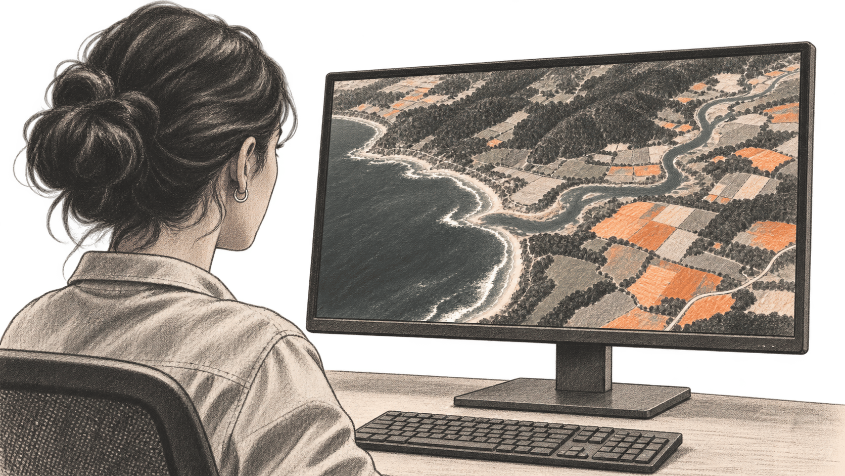
Planet says its map-and-chat satellite imagery app is available for public use following a June open beta.
Access is free for now, according to Planet.
The big change
- Search uses a vector map derived from monthly image mosaics.
- Image comparisons can help investigate a candidate location; they do not prove what happened there.
- The product was not independently tested for this article.
From a question to imagery
Planet says a language model interprets a description and queries an AI-derived vector map of visual features. Users can inspect locations and historical imagery from over a decade of company data.
The distinction matters: a description-based match can narrow a search, while the underlying images provide evidence to inspect. Images may show visible change without establishing its cause, ownership or legal status. A plausible answer should be checked against the underlying imagery and other relevant evidence, especially before making a consequential decision.
Planet also describes a Deep Research function for more complex analysis.
An earlier example
In a June demonstration, Planet said its agent responded to a question about a Tennessee data center by presenting before-and-after imagery, public web context and a tool to measure the building's footprint. That is a company-described example from the beta, not a test performed by BIG CHANGE or proof that the app can verify every development automatically.
The earlier account called the app an open beta; future premium prices and detailed performance limits remain unspecified. Users considering the app for monitoring would still need to determine whether imagery, timing and resolution are suitable for their particular question.