Earth Fire Alliance and Muon Space released the first images from three operational FireSat satellites on September 16. The spacecraft launched on July 7, and the newly published collection includes observations from Australia, Portugal and the United States. The satellites were still being commissioned when the images were released. Earth Fire Alliance's announcement.
The distinction matters. Images from orbit demonstrate a working observation system. A dependable service that delivers useful alerts to fire agencies is a further step. For AI in the physical world, this is a revealing test: success ultimately depends on what people can do with the information after the model produces it.
What the new images establish
The release includes small fires around Dubbo in New South Wales, a hotspot in Portugal's Porto District and repeated views of the Big Grass Fire near the Oregon-Idaho border. Earth Fire Alliance says local partners confirmed that the Portuguese hotspot was the late stage of a small wildfire. The package also shows five views of an active fire front over three nights and two days. The images and their descriptions.
These examples are evidence supplied by the organizations building the system. They are not an independent measurement of how often it misses a fire, produces a false alert or helps crews arrive sooner. A reader assessing the project should keep those different kinds of evidence separate.
Where AI enters the process
In an explanation published September 15, Google researcher Chris Van Arsdale described the tradeoff behind FireSat: use smaller satellites, then apply machine learning to improve interpretation of their observations. Google supports the project with Muon Space and Earth Fire Alliance. Training included images collected by flying a camera over controlled burns. Google's account of the detection work.
The difficulty is deciding which heat signatures require attention. An industrial heat source or sunlight reflecting from a surface can complicate detection, and a managed burn has a different operational meaning from an uncontrolled fire. Observing how a scene changes over time gives the system additional evidence. Google's stated small-fire detection target is an area of five by five metres.
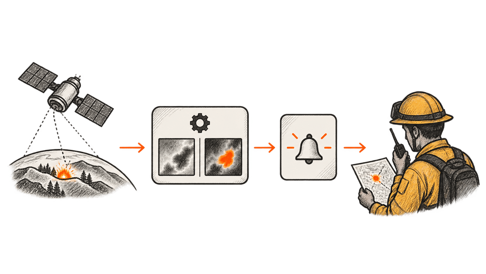
That makes AI one component in a longer chain. Sensors must collect an observation; software must interpret it; the result must reach someone who can assess and act on it. Our assessment is that the weakest step in that chain will determine whether better detection produces a practical benefit. A precise alert that arrives late or reaches an unstaffed inbox cannot dispatch a crew.
Satellite fire monitoring already exists
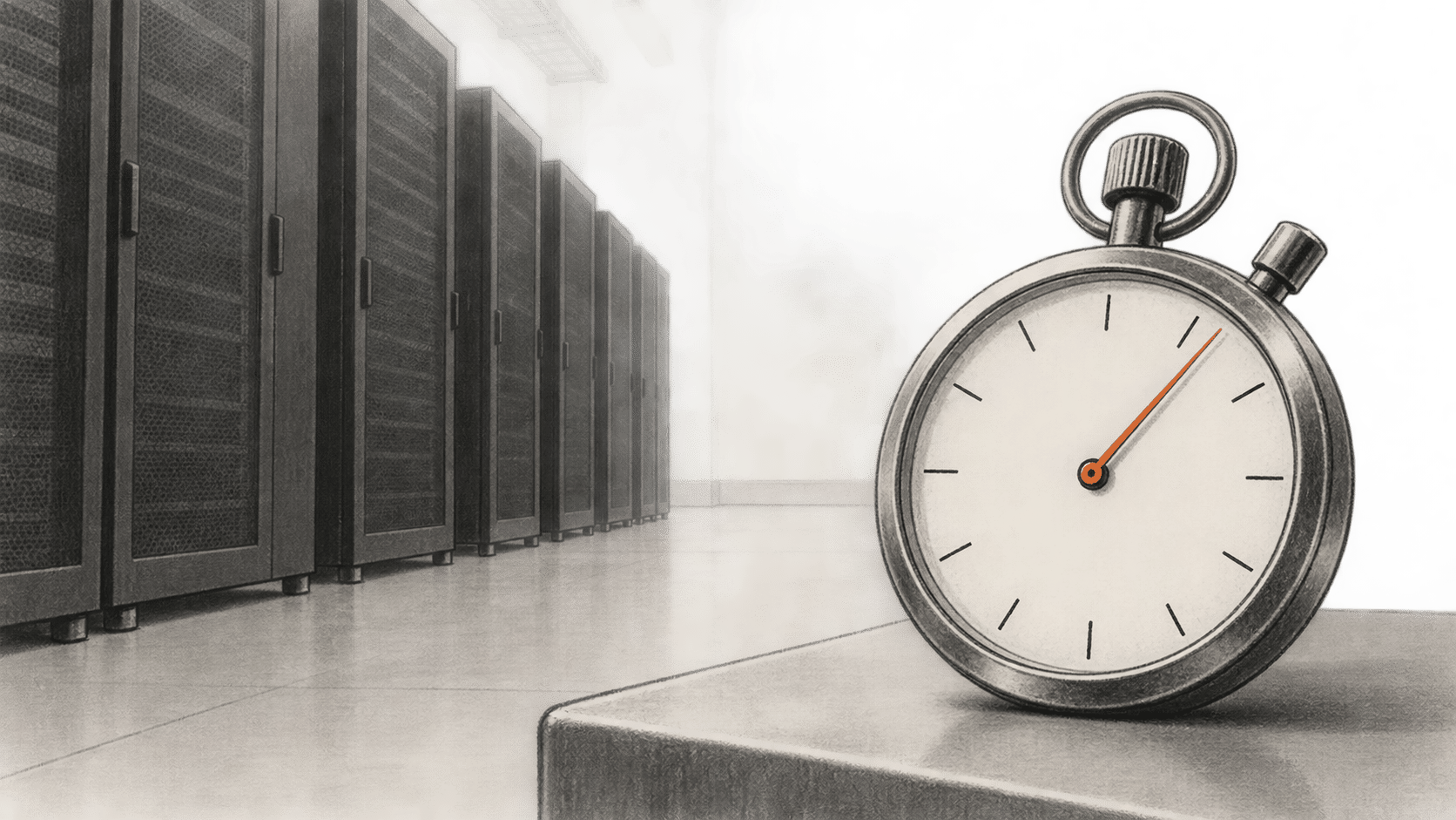
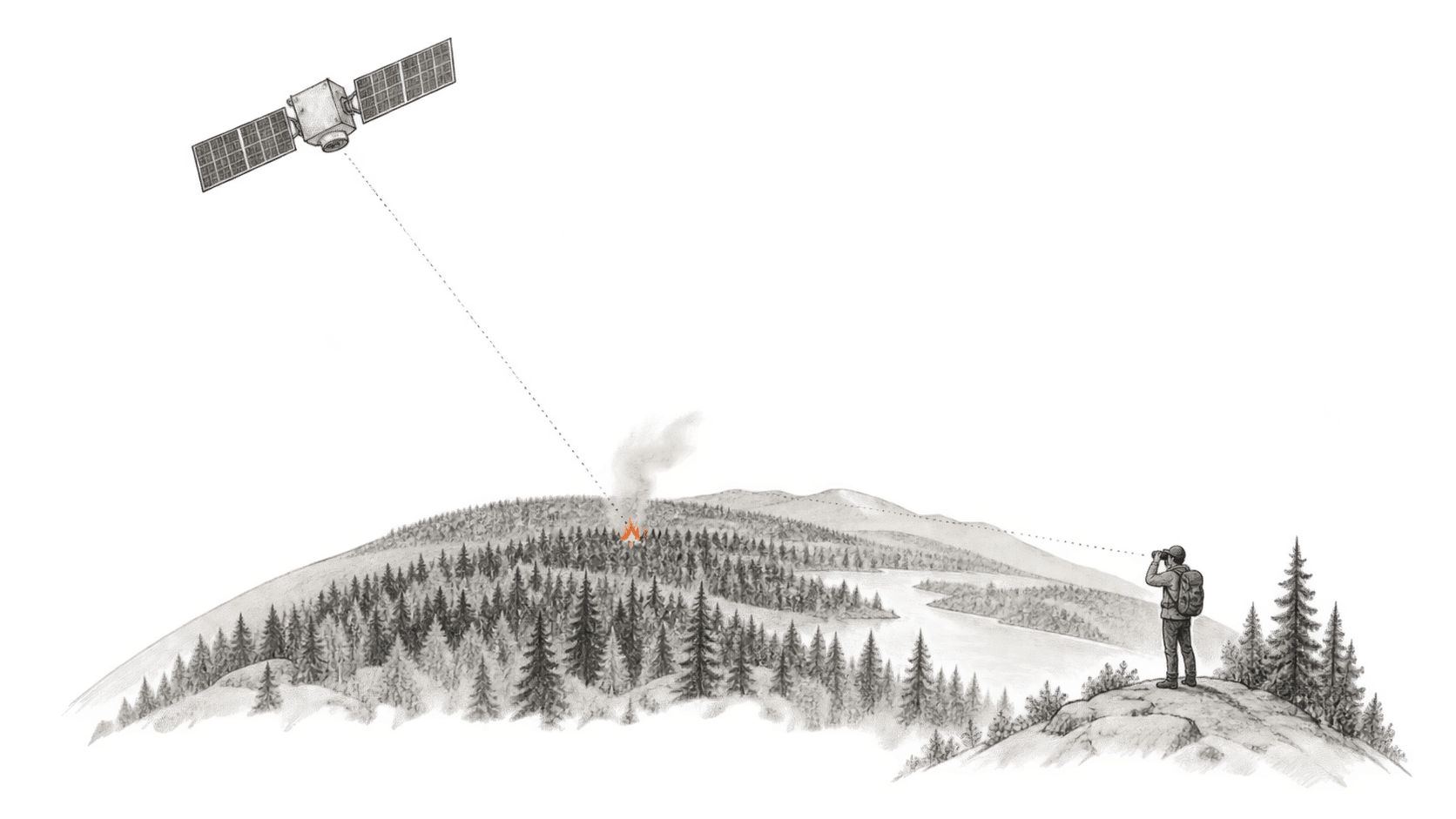
FireSat is entering an established field. NASA's FIRMS service includes geostationary observations taken every 10 or 15 minutes, depending on the sensor, with data typically available in about 30 minutes or less. NASA also describes limitations in those products, including missed and spurious detections, and applies confidence filtering. NASA's explanation of geostationary fire data.
The useful comparison is therefore whether FireSat adds reliable observations at the size and location of fires that responders need to see. Treating all earlier satellite information as slow or unusable would obscure that question. Different sensors have different coverage and spatial resolution; a frequent image and detection of a very small fire are separate capabilities.
What changes next for fire agencies
Earth Fire Alliance's roadmap calls for at least twice-daily operational data for its early adopters by the end of 2026. A much larger constellation is intended to bring global updates every 20 minutes or less. That is a future system, not the service demonstrated by the September image release. FireSat's deployment roadmap.
For an agency evaluating the data, our recommendation is to compare alerts against its own incident records and existing feeds. Measure the delay from observation to a usable notification. Review missed incidents and false alarms across local terrain and weather. Establish who decides whether a detection needs investigation, and keep the existing reporting channels during the evaluation.
The same discipline applies to claims about avoided damage. An earlier observation may create an opportunity to respond, but the imagery alone does not establish that homes were saved or an evacuation became unnecessary. Those outcomes require evidence from actual incidents and the agencies involved.
The next milestone to watch is the promised delivery of routine data to early adopters, followed by published evidence about its use. Firefighters still have to make decisions on the ground. A successful system would give them earlier, more dependable information on which to base those decisions.