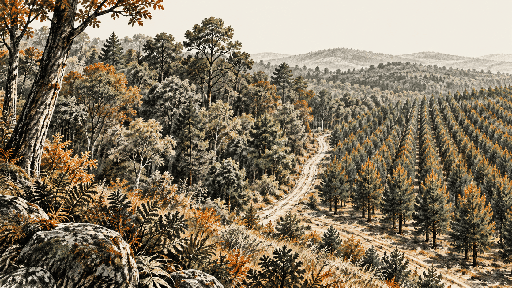
Google DeepMind's October 22 account of Forest Typology, or ForTy, describes a map that separates natural forest, managed forest and tree crops where a tree-cover map might show green throughout. For conservation researchers and supply-chain analysts, that distinction can expose changes that canopy cover alone misses. The documented 2020 dataset also shows why a mapped category cannot settle the history of an individual plot.
The big change
- What changed: ForTy supplies six land and forest categories, plus class scores, on a 10-meter output grid. DeepMind also describes an early annual series for 2017 through 2025. The documented 2020 baseline was posted in May. October brought the team's new public explanation and annual-series announcement.
- Why it matters: A natural forest converted to a plantation may remain tree-covered. Forest-type data can help analysts look for that transition and decide where closer investigation is warranted.
- What to watch: The annual series needs a separately inspectable catalog and validation record before its year-by-year classifications can carry the same evidentiary weight as the documented baseline. ForTy's own catalog warns that several classes are hard to distinguish even in 2020.
Six classes carry more information than canopy cover
The 2020 Earth Engine catalog names primary forest, naturally regenerating forest, planted forest, plantation forest, tree crops and agroforestry, and other land. The classification follows definitions associated with the UN Food and Agriculture Organization and the EU Deforestation Regulation. It covers land between 65°S and 84°N, rather than literally every point on Earth.
That taxonomy addresses a real blind spot. A plantation and a naturally regenerating forest can both have dense canopy; a tree-cover layer does not, on its own, reveal which is which. ForTy makes a model-based estimate of that distinction. Google says the model uses AlphaEarth Foundations satellite embeddings and was trained with roughly 1.7 million labeled locations. Those inputs help the model detect patterns across observations, but management history and intent are not directly visible in a satellite pixel.
The primary record contains five bands with values from 0 to 250, one for each forest or tree-crop class. The score for “other land” is calculated from the remainder. An analyst can select the highest-scoring class to make a single-color map, or keep the bands to examine the competing classifications. The Figshare dataset record identifies the 2020 baseline as Cloud Optimized GeoTIFF archives and dates its posting to May 22, 2026. The Earth Engine catalog provides an image-collection path and lists a CC BY 4.0 license; its required-attribution field still contains placeholder text. A reuse plan should resolve that field with the publisher.
The October announcement extends the question across years
DeepMind's October post says an early-release time series follows forest types annually from 2017 through 2025 and links to an Earth Engine app. The post says the series is freely available in Earth Engine. The public 2020 catalog documents one baseline year, and the linked Figshare record contains the 2020 product. The app's public page did not expose a distinct annual asset identifier, release date, band description or validation table in this review. Those technical details remain unverified.
The proposed use is clear: compare forest type, rather than canopy alone, from year to year. A transition from natural forest to a plantation could remain visually green. A change detected in such a series would be a candidate for investigation, with its timing and cause checked against other records and local evidence. This article has not run the Earth Engine app or measured any conversion.
Error is concentrated where decisions may be hardest
DeepMind reports that more than 9,000 randomly selected sites were interpreted by two experts using high-resolution imagery and satellite histories. It reports 90% correct forest-type classification and 95% separation of forest from non-forest. Those are the developer's validation figures, not an independent rerun or a guarantee at the plot level. The catalog's limitation notes give a more useful picture of where errors arise.
Planted forest has a reported F1 score of 58.2%, the lowest of the forest classes. It can resemble naturally regenerating forest or a plantation. Mature regrowth can resemble primary forest, while shaded cocoa or coffee under native canopy can be mistaken for natural forest. The catalog also says the model tends to exclude some forest edges near roads and settlements from the primary category. A recently harvested area awaiting replanting can appear as “other land” even though the underlying definition still treats it as forest.
The grid size is another boundary. Each output pixel is 10 meters across, but the publisher says some model inputs may effectively resolve less detail than that. Mixed pixels in smallholder landscapes add difficulty. The class scores are ensemble softmax outputs that have not been calibrated against observed frequencies. A value of 200 out of 250 should not be read as an independently verified 80% chance that a parcel is in that class.
For a regional forest inventory, these data can help locate patterns and select places for closer review. For a supply-chain investigation, the same limits make a map result a lead to verify with parcel boundaries, history and other evidence. Neither the publisher's global validation percentages nor a single pixel establishes a specific site's status or legal compliance.
Sources & further reading
- Google DeepMind's October 22 ForTy post explains the intended uses, model inputs, developer validation claims and early annual-series announcement. Its impact and accuracy descriptions are publisher claims.
- Earth Engine's ForTy 2020 catalog documents the baseline asset, six classes, five-band data, license and detailed limitations. It does not document the annual series in that entry.
- The ForTy 2020 Figshare record establishes the May 22 posting date, file format and baseline-only scope. The linked download is 308.74 GB; no dataset download was needed for this review.
- The linked Earth Engine app is the publisher's annual-series exploration route. Its accessible public shell did not establish the annual asset's metadata or validation.